 Checklists
 Personal Shopping
 Boot Fitting
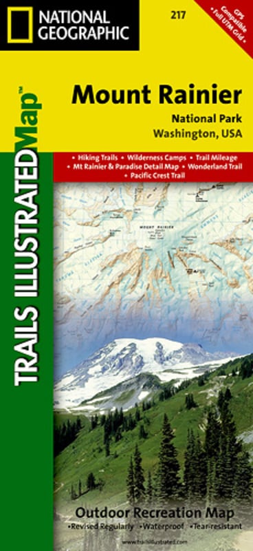
Trails Illustrated Nat Geo
Mount Ranier National Park Map
item # 217
$14.95
- This Trails Illustrated topographic map is the most comprehensive recreational map for Washington's Mount Rainier National Park
- Within the park, there is detailed coverage of Mount Rainier and its many glaciers; Eagles Roost, Cataract Valley, Mystic, Emmons Overlook, Indian Bar, Maple Creek, Snow Lake, Paradise River, Jackson and many other camping areas are also included
- A detailed inset gives you a close-up view of the peak and trails leading to its glaciers
- Approximately 4 1/4 in x 9 in folded; 25 1/2 in x 37 3/4, in fully opened
- Scale = 1:55,000 and 1:27,500
- Map Revised - 2003