 Checklists
 Personal Shopping
 Boot Fitting
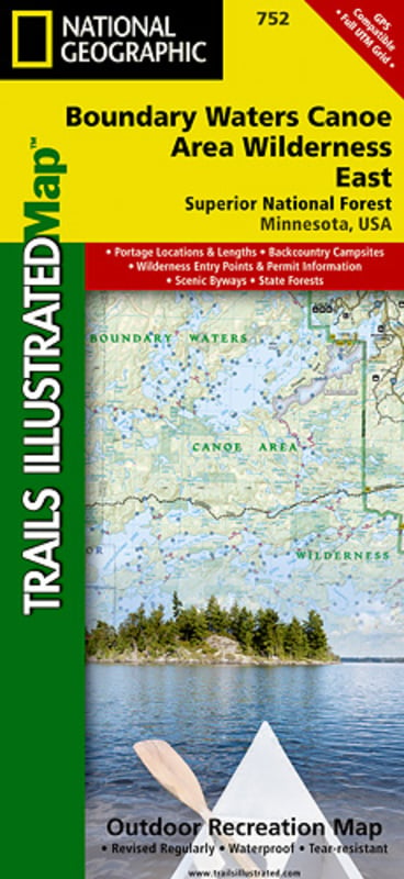
Trails Illustrated Nat Geo
Boundary Waters East Map
item # 752
$14.95
- The water-rich Superior National Forest includes more than 2,000 lakes and rivers that offer a chance to canoe, boat, fish and camp where early Native Americans, voyagers, missionaries, loggers and explorers once traveled
- About a third of the Forest lies within the Boundary Waters Canoe Area Wilderness (BWCAW)
- Visitors to the BWCAW will find a sense of solitude and primitive recreation; permits are required and special regulations apply
- The Boundary Waters was recognized for recreational opportunities in 1926, named the Superior Roadless Area in 1938, the BWCA in 1958, and federally designated under The Wilderness Act in 1964
- It wasn't until October 21, 1978, The Boundary Waters Canoe Area Wilderness Act was established to provide specific guidance for managing the million plus acres of the Superior National Forest
- The BWCAW has changed little since the glaciers melted
- With over 1,500 miles of canoe routes, nearly 2,200 designated campsites, and more than 1,000 lakes and streams waiting, the BWCAW draws over 250,000 visitors each year
- As part of the Superior National Forest, the BWCAW is managed by the US Forest Service
- Scale: 1:70,000 (1 in = 1.10 miles)
- © 2010