 Checklists
 Personal Shopping
 Boot Fitting

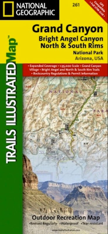

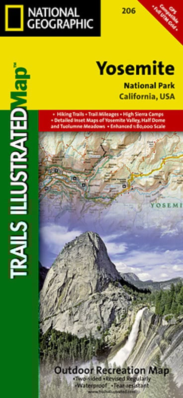
Trails Illustrated Nat Geo
Grand Canyon/Bright Angel Canyon/North+South Rim
item # 261
$14.95
- Grand Canyon, Bright Angel Canyon/North & South Rims (#261) replaces the previous Grand Canyon National Park Trails Illustrated map (#207)
- Completely redesigned and updated, Grand Canyon Central provides an enhanced scale and detail for the highest visitation area of the park surrounding the Grand Canyon South Rim Visitor Center and the Bright Angel Trail (Colorado River miles 60-98) Coverage: Colorado River miles 60-98, North and South Rim visitor centers, Grand Canyon Village, Grand Canyon / National Geographic IMAX, Tusayan, Grand Canyon Railroad Station, Bright Angel Trail (plus elevation profile), West Rim Trail, Kaibab Trail, Arizona Trail, Grand Canyon Lodge, and more
- Includes UTM grids for use with your GPS unit
- Dimensions:Approximately 4 1/4inches x 9 1/4inches folded; 26inches x 38inches fully opened
- Scale: 1:35, 000
- Revision Date: 2009
- Construction:
- More than just a map, National Geographic Trails Illustrated topographic maps are designed to take you into the wilderness and back. Printed on tear-resistant, waterproof material, this map can go anywhere you do. Each map is based on exact reproductions of USGS topographic map information, updated, customized, and enhanced to meet the unique features of each area. The maps include valuable wilderness tips and Leave No Trace guidelines, along with updated trails, trailheads, points of interest, campgrounds, and much more. With a new color palette and stunning shaded relief, backcountry navigation has never been easier.