 Checklists
 Personal Shopping
 Boot Fitting

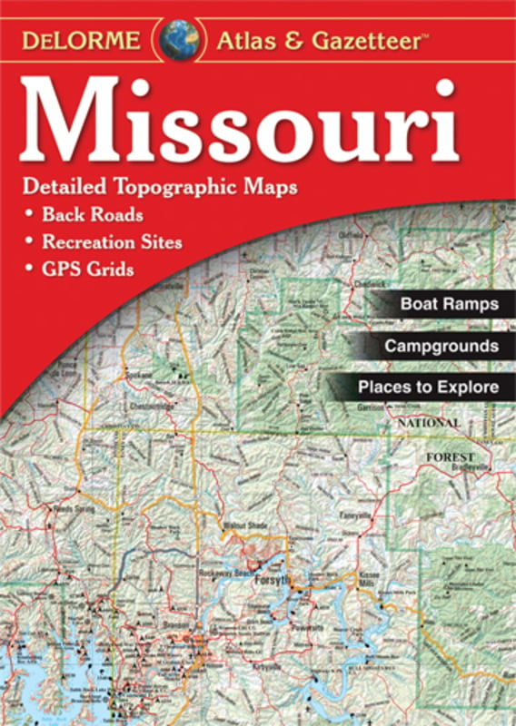

Missouri Atlas
item # 010-13066-00
$24.95
- Rely on a DeLorme Atlas & Gazetteer for the utmost in trip planning and backcountry access. Contains topographic maps with unbeatable detail, plus gazetteer information on great places to go and things to do. Features:
- Each atlas is a quality paperback; size 11 in x 15-1/2 in
- Each Gazetteer entry's location is cross-referenced to the corresponding map
- Map detail commonly includes: Back roads, dirt roads and trails, Elevation contours, Remote lakes and streams, Boat Ramps, Public lands for recreation, Land use / land cover forests, wetlands, agriculture, Trailheads, Campgrounds, Prime hunting and fishing spots
- Missouri categories: Attractions, Biking, Campgrounds, Fishing, Float Trips, Golf Courses, Hiking, Historic Sites, Hunting, National Lands, Scenic Drives, State Lands, Unique Natural Features
- Suggested Uses: In-vehicle for everyday reference, Exploring back roads, Outdoor recreation - preparation and navigation, Business travel, Planning vacations and leisure activities, Armchair journeys
- Scale: 1:200,000 (1 inch = 3.2 miles)
- Contour Interval: 100 feet
- Each Page Covers: 35.1 miles x 44 miles
- GPS: Grids & tick marks
- Index: Placenames & map features (lakes, rivers, mountains, etc.)
- Copyright: 2004